
By Dr Daniel Clark-Lowes
This book has something of an aspirational, rather than practical, feel to it. However, there is no doubt – in my mind anyway – that it is the best book on the geology of the Himalaya I have read. It is written with a nice light touch, with some humour. And it covers far more than just geology – where appropriate, it includes history, especially about the exploration of the subcontinent, and Asian culture.
A good example of the latter is the chapter on the holy rivers of the subcontinent, in which the author weaves spirituality and geology together, such that it reads both like a travelogue and travel guide. But, of course, it also provides an explanation of the geology in the context of this fascinating science lab of plate tectonics. Perhaps, most importantly, it inspires the reader to actually go there. In fact, this is one of the best GA guides that I read from cover to cover.
The text follows the route of what is referred to in this guide as a ‘megatransect’, from the Indian Plate across the Himalayan Mountains to the Tibetan Plateau on the Eurasian Plate. In so doing, it takes you through the Siwaliks of southern Nepal and then to a section up the Kali Gandaki River of west central Nepal, a tributary of the Ganges River to the west of Annapurna. Here, the metamorphic and sedimentary rocks of the Lesser, Greater and Tethyan Himalayan Series can be seen, as you progress northwards. There are also diversions to Mount Manaslu in Nepal, and to Bhutan, which together provide a better understanding of the leucogranites of the Greater Himalayan Series.
The author also takes a megatransect to Ladakh, where volcanic and deep-water sedimentary rocks of the Indus Tsangpo Suture Zone can be seen, together with evidence of deep burial down a subduction zone. He then looks at Tibetan terranes on the Eurasian Plate, where granitic batholiths can be viewed, along with collisional molasse in Ladakh’s Indus Basin, lying over the Indus Tsangpo Suture Zone. Finally, he heads south-eastwards to similar Oligo-Miocene conglomerates and travels along the suture to the sacred Mount Kailas.
There is also a diversion to examine Quaternary sediments in the Kali Gandaki valley and another to look at the evolution of the four holy rivers, namely, the Indus, the Yarlung-Tsangpo-Brahmaputra, the Sutlej and the Ganges.
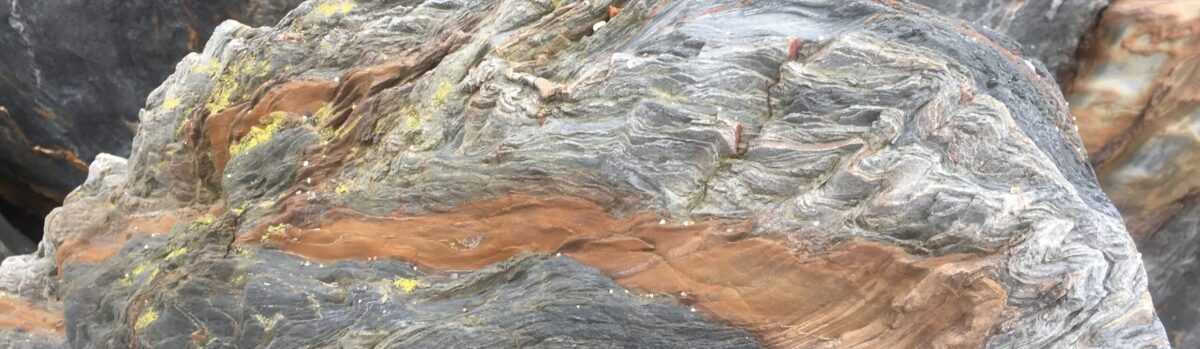
At each stage of the megatransect there is a brief explanation for non-specialists of the geology and processes involved (for example, metamorphism and plate tectonics). In fact, it is a very easy read for amateur geologists and is definitely worth reading, as I did, from cover to cover. The pictures are great, as are the full-colour diagrams.
Daniel Clark-Lowes got his first degree in Natural Sciences from Cambridge University, specialising in geology, and later received a PhD from Imperial College for his research on sedimentary rocks in southwest Libya, leading to a career in the oil industry. He also gave related training courses, and published scientific papers and books. At the same time, he was enjoying bagging Alpine peaks, leading to an interest in the geology of Switzerland and then the Himalayas. In terms of the latter, he has visited the region 15 times, and written articles and given talks on the geology of the region.
A Geological Field Guide to the Himalaya in India, Nepal, Bhutan and Tibet (Guide No. 76), by Dr Daniel Clark-Lowes, The Geologists’ Association, London (2022), paperback (176 pages), ISBN: 978-1-9996757-3-8.