The aim of the guide is to help professional and interested amateur geologists to investigate the rocks themselves and to put them in a modern scientific context.

The aim of the guide is to help professional and interested amateur geologists to investigate the rocks themselves and to put them in a modern scientific context.
Shropshire is one of my favourite areas for both geology and fossil collecting. The Silurian of this beautiful area is fascinating and, if you can get permission to get into one of the commercial quarries (and you will need permission), then the results will be remarkable.
I approached this book with what turned out to be completely irrelevant preconceptions. I was very wrong. In fact, this is a little geological tour de force describing field locations and, what one reviewer described as “the logic of geology: how vanished land – and seascapes can be conjured back into existence from the raw rock record”.
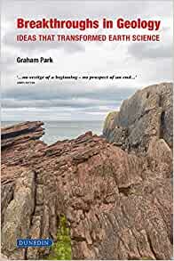
In recent years, Graham Park has been prolific in his writing for Dunedin Academic Press. In this new tome, he has produced what I suspect is a really great introduction to a range of key concepts and geological processes for both undergraduates and the interested, moderately well-informed amateur.
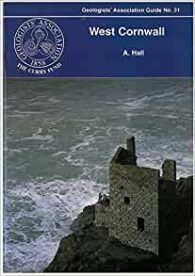
This is one of GA’s little guides to a very specific area. This one is West Cornwall, a holiday destination that I recently visited during which I spent some time looking at the geology, along with the gardens and archaeological sites.
This is one of the oldest of the GA’s guides and is currently in its third edition (the first having been published in 1957 and the second in 1972). Although there have been changes in classification and so on, the general exposures are largely as good as they used to be – or they were the last time I went!
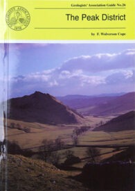
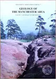
This is another lovely guide by the GA to an area that perhaps readers would not associate with good geology. But, of course, that is because of its title, because the areas like Pendle Hill and Derbyshire are wonderful, not just to visit for their geology, but also for their holiday appeal.
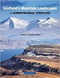
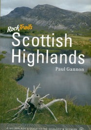
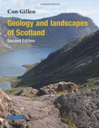
I love the Scottish Highlands and I am proud to say that I have climbed many of the mountains covered in the glossy hardback. But, as I say in the other book review on this page, it is more than a picture book. It contains some excellent and fascinating science explaining their outstanding beauty.
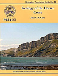
The is a second edition of Prof John Cope’s excellent geological guide to the Dorset coast for the Geologists’ Association. It is slightly shorter than the first edition, with some minor corrections and some of the figures revised, together with new photographs. It also now includes the huge quantity of data amassed over last few decades during the hydrocarbon exploration work in the county.
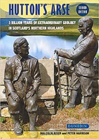
If you can see past the somewhat robust title (a reference to James Hutton’s discomfort riding around Scotland on horseback during his geological investigations), this is an interesting read, combining both geological science and humour in just about the right measures.
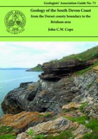
This is the second Geologists’ Association guide by Professor John Cope. The other is the second edition of his excellent Dorset guide. And, on the grounds that “if it ain’t broken, don’t mend it”, this guide to the south Devon coast follows the highly successful basic plan of that other guide, including the extensive use of colour photos and diagrams.
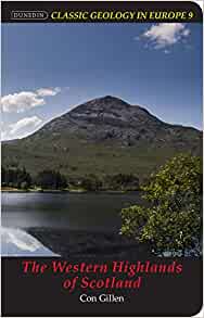
I have reviewed some excellent previous guides in this series (Iceland: Classic Geology in Europe 3), but this one is closer to home and covers an area that I have fond memories of from my Munro-bagging days. This is more a companion guide for those walking in the Highlands, especially those on geological field trips.
I remember reading and enjoying this book when the first edition came out many years ago. I am also a keen hillwalker and have stood on top of many of the Scottish mountains referred to in the text. In fact, I particularly enjoyed climbing Ben More on the island of Mull, which I remember reading was the last volcano in northwest Europe.
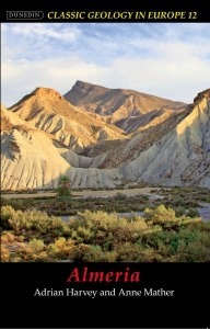
Almeria is a province in southeast Spain, situated in the furthest southeast part of the Iberian Peninsula. And it is a classic area for southern European and Mediterranean Neogene and Quaternary geology. In fact, it is not far north of the southern boundary of the European tectonic plate and, as a result, has been profoundly affected by the interaction of this and the African plate.
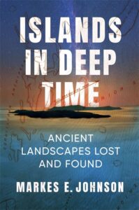
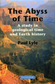
For anyone like me who finds the immensity of geological time (‘deep time’) both fascinating and fundamentally difficult – both emotionally and intellectually – this is a great book. Paul Lyle has written it for environmentalists and policy makers to help them explain their concerns and decisions more clearly in the context of geological time, but these are not the only people who should read it.
As a former ‘Munro bagger’ and now keen geologist, this book combines two of my favourite pastimes. While the body is not quite so willing as before, the ability to read about the geology of some of my favourite Scottish walks is an absolute pleasure.
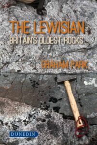
Recently, I have finished the Great Silurian Controversy, a magnificent book about the nineteenth century arguments over the age of the lower Palaeozoic greywackes/sediments of Devon, and the creation of the concept of the Devonian. And reading The Lewisian: Britain’s oldest rocks by Graham Park, it occurs to me that this should perhaps be called, The Great Lewisian Controversy. It shares the same historical and scientific intentions, and the same grand sweep of scientific history, this time from the early twentieth century – namely, the exploration over decades of the geology of the Lewisian of northwest Scotland.
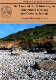
The 71st GA guide is not really my area (I prefer palaeontology) and it covers quite a specialist subject, but it is definitely interesting. And this is surely the point of GA guides – to cover topics that other publishers might be reluctant to consider.
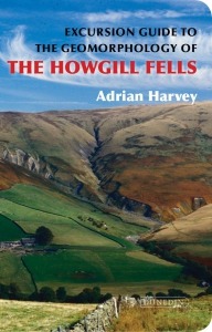
This little guide contains excursion guides explaining and exploring the relationship in the UK between hillslope gully erosion and the response by stream and valley systems within the Howgill Fells of Cumbria. The author’s choice of this area rests on the fact that it is one of the most active landscapes in Britain from the point of view of erosion, with the steep slopes of the headwater valleys, which are riddled by networks of erosional gullies that have been active in the relatively recent past.
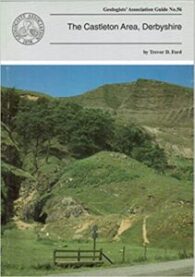
This is another of GA’s guides, this time to the geology and geomorphology of the popular holiday destination of the Castleton Area in Derbyshire. I love this area and have visited there both for the geology and the beautiful scenery.
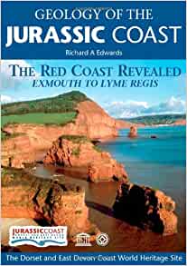
The Jurassic Coast Trust has certainly producing some good books. As is well known, in recognition of its wonderful geology, the coast between Orcombe Rocks in southeast Devon and Old Harry Rocks in south Dorset was granted World Heritage status in December 2001. In this respect, these two guides cover the western and the eastern thirds of this remarkable coastline.
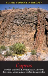
The island of Cyprus is a truly classic area of geology in Europe. Perhaps nowhere else on Earth does so small an area provide such an excellent illustration of the dynamics of Earth processes through abundant exposures of spectacular and diverse geology.
A great number of geology books have been published in recent years about Scottish geology and I have had the privilege of reviewing a number of them. This plethora of publications is not surprising. As this book points out, in the six hundred miles between the Shetland island of Unst in the north to the Mull of Galloway in the south are some of the most interesting, varied and beautiful landscapes in Europe, if not the world.
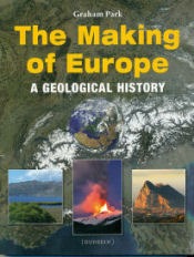
This is an interesting book for those of us who are curious about the complex origins, variety and geological history of the continent of Europe. In particular, it covers and explains the background to its distinct regions and landscapes – from the flat plains of Northern Europe to the Alps and related mountains of the south.
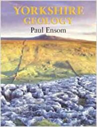
If Yorkshire really is ‘God’s Own County’, then clearly the Almighty is an extremely enthusiastic geologist. Just how lucky is the Yorkshire man who, on the same day, can see some of the best and most varied geology in the world, set out in glorious coastal and mountain scenery, collect superb fossils and minerals, and still be back in the pub in time for some of the best real ale in the UK? That is, Yorkshire is a geological gem that needs a good geological guide.