The aim of the guide is to help professional and interested amateur geologists to investigate the rocks themselves and to put them in a modern scientific context.

The aim of the guide is to help professional and interested amateur geologists to investigate the rocks themselves and to put them in a modern scientific context.
This is an ambitious little field guide, which aims to allow amateurs to identify basic rocks and rock formations, for the first time, in a systematic way., as it says: “… using only careful observation, a magnifying glass, a pocket knife – and a bit of patience”.
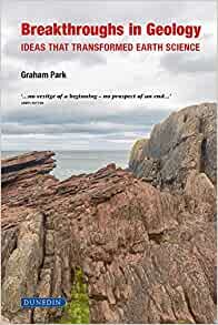
In recent years, Graham Park has been prolific in his writing for Dunedin Academic Press. In this new tome, he has produced what I suspect is a really great introduction to a range of key concepts and geological processes for both undergraduates and the interested, moderately well-informed amateur.
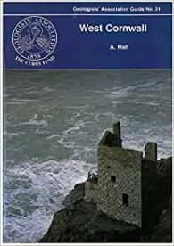
This is one of GA’s little guides to a very specific area. This one is West Cornwall, a holiday destination that I recently visited during which I spent some time looking at the geology, along with the gardens and archaeological sites.
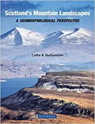
I love the Scottish Highlands and I am proud to say that I have climbed many of the mountains covered in the glossy hardback. But, as I say in the other book review on this page, it is more than a picture book. It contains some excellent and fascinating science explaining their outstanding beauty.
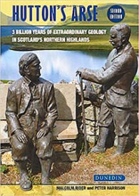
If you can see past the somewhat robust title (a reference to James Hutton’s discomfort riding around Scotland on horseback during his geological investigations), this is an interesting read, combining both geological science and humour in just about the right measures.
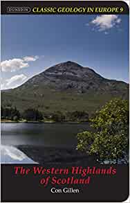
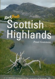
I have reviewed some excellent previous guides in this series (Iceland: Classic Geology in Europe 3), but this one is closer to home and covers an area that I have fond memories of from my Munro-bagging days. This is more a companion guide for those walking in the Highlands, especially those on geological field trips.
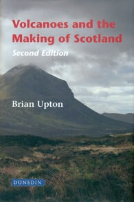
I remember reading and enjoying this book when the first edition came out many years ago. I am also a keen hillwalker and have stood on top of many of the Scottish mountains referred to in the text. In fact, I particularly enjoyed climbing Ben More on the island of Mull, which I remember reading was the last volcano in northwest Europe.
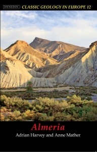
Almeria is a province in southeast Spain, situated in the furthest southeast part of the Iberian Peninsula. And it is a classic area for southern European and Mediterranean Neogene and Quaternary geology. In fact, it is not far north of the southern boundary of the European tectonic plate and, as a result, has been profoundly affected by the interaction of this and the African plate.
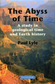
For anyone like me who finds the immensity of geological time (‘deep time’) both fascinating and fundamentally difficult – both emotionally and intellectually – this is a great book. Paul Lyle has written it for environmentalists and policy makers to help them explain their concerns and decisions more clearly in the context of geological time, but these are not the only people who should read it.
As a former ‘Munro bagger’ and now keen geologist, this book combines two of my favourite pastimes. While the body is not quite so willing as before, the ability to read about the geology of some of my favourite Scottish walks is an absolute pleasure.
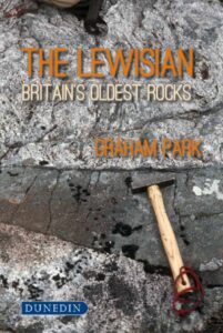
Recently, I have finished the Great Silurian Controversy, a magnificent book about the nineteenth century arguments over the age of the lower Palaeozoic greywackes/sediments of Devon, and the creation of the concept of the Devonian. And reading The Lewisian: Britain’s oldest rocks by Graham Park, it occurs to me that this should perhaps be called, The Great Lewisian Controversy. It shares the same historical and scientific intentions, and the same grand sweep of scientific history, this time from the early twentieth century – namely, the exploration over decades of the geology of the Lewisian of northwest Scotland.
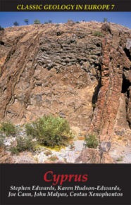
The island of Cyprus is a truly classic area of geology in Europe. Perhaps nowhere else on Earth does so small an area provide such an excellent illustration of the dynamics of Earth processes through abundant exposures of spectacular and diverse geology.
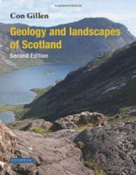
A great number of geology books have been published in recent years about Scottish geology and I have had the privilege of reviewing a number of them. This plethora of publications is not surprising. As this book points out, in the six hundred miles between the Shetland island of Unst in the north to the Mull of Galloway in the south are some of the most interesting, varied and beautiful landscapes in Europe, if not the world.
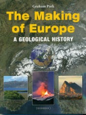
This is an interesting book for those of us who are curious about the complex origins, variety and geological history of the continent of Europe. In particular, it covers and explains the background to its distinct regions and landscapes – from the flat plains of Northern Europe to the Alps and related mountains of the south.
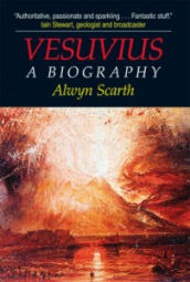
Vesuvius is a European geological icon par excellence. There are many books about this wonderful volcano and most people will know its connection with the destruction of Pompeii. Therefore, this book is as much about its social history, as it is about its geology.
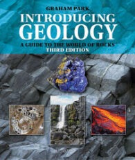
This is a third, revised edition of a very successful, introductory-level geology guide. In it, the author has taken the opportunity to revise and update the text, and to substitute improved illustrations for some of the old ones.
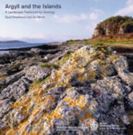
Back in 1994, Scottish Natural Heritage, together with the BGS, published a guidebook entitled Cairngorms: A landscape fashioned by geology. With the publication of Argyll and the Islands: A landscape fashioned by geology, it has now extended this excellent series to 20 such guides.
The Caithness area of Scotland is important for its geology, but is also well known for its palaeontology. The Caithness Flagstones are famous for fossil fish and the Helmsdale Fault for the Helmsdale Boulder Beds deposit, beside an active submarine fault scarp. The area even once had its own ‘gold rush’ and you can still try your luck at panning there today at Kildonan.
Dunedin publishes a series of ‘Guide to’ books that are excellent little volumes for the beginner and the amateur, and this one is no different. Written by the ubiquitous volcano specialist, Dougal Jerram (aka Dr Volcano), it is a nice little summary of the basics of the science of volcanology.
I have been lucky enough to review several books by Dunedin – the others being on palaeontology, geology and volcanology. And this is as good as the others. However, it is not an easy book to read. The illustrations are, as always, superb – colourful and clear – but this book is more suitable for the more mathematically and scientifically minded, especially those who enjoy the science of engineering.
The Dalradian is a geological term describing a series of metamorphic rocks, typically in the high ground lying southeast of the Great Glen of Scotland. It was named after the old Celtic region of Dál Riata (Dalriada) by the geologist, Sir A Geikie, in 1891, and the term now covers a range of metamorphic rocks.
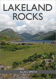
There are many good guides the geology of the Lake District and this is no exception. It is an illustrated guide to the region’s rocks and an introduction to the common rock types to be found, largely through the use of colour photographs. It also explains how they fit in with the Lake District’s geological history.
Nowadays, people don’t do geology – they do ‘earth sciences’ – and this book is very much in that mould. That’s not to say this is a problem. Expanding the study of the world to take on a more holistic view of how things work is fascinating and, it is clear from this book, just how much man has now begun to understand and benefit from this new way of looking at geological science.
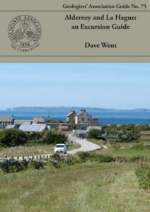
Recently, the Geologists’ Association kindly sent me three of their new guides to review, and I chose to review Alderney and La Hague: an Excursion Guide first, for some very personal reasons. I remember fondly my visits as a child to Alderney, and my extensive civil engineering works on Corblets beach, building dams of sand to capture the water flowing across the sand into the Race of Alderney.